Schuylkill Navigation Maps
at
Reading Area Community College

|
Schuylkill Navigation Maps at Reading Area Community College |
||
|
|
|
The Fourth Reach Norristown / Bridgeport - Catfish Dam To view an image, click on the thumbnail. Use your browser's back button to return. Please note the file sizes. |
|||||
|
Large Maps
|
Map #
|
Description |
File Sizes
|
||
| 4-3 | Towpath bridge at Catfish | 141k | |||
| 4-4 | Proposed dam at Norristown (not built) | 109k | |||
| 4-7 | Norristown Canal | 222k | |||
| 4-8 | Norristown Dam | 326k | |||
| 4-13 | Catfish Dam (copy 2) | 221k | |||
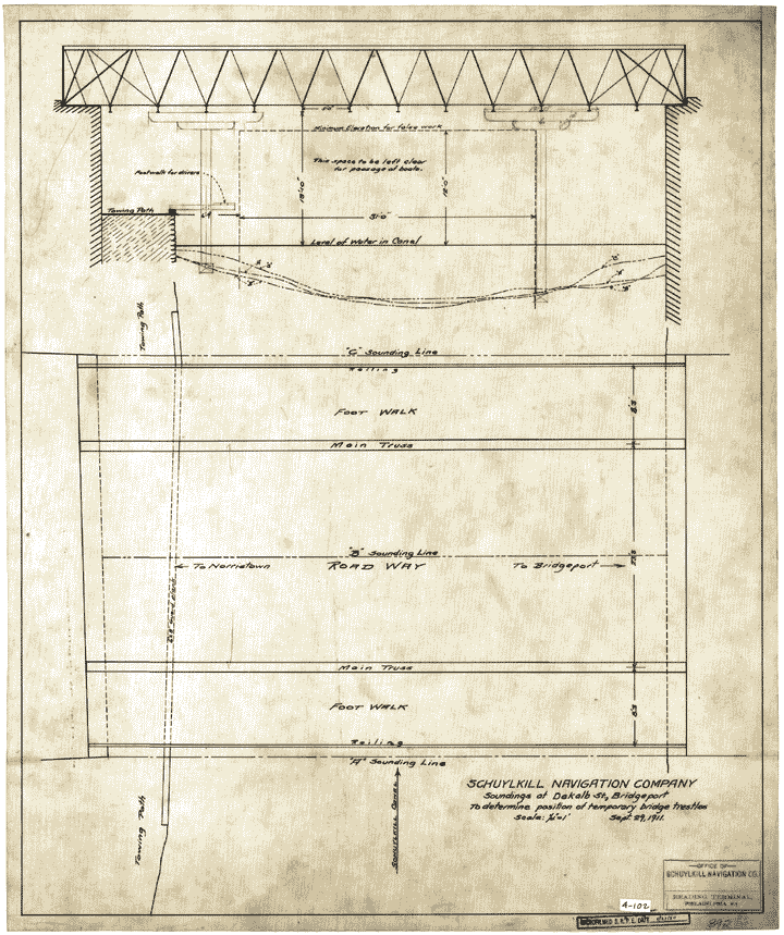 |
4-102 | DeKalb Street Bridge | 117k | ||
| 4-103 | New waste weir in Norristown Canal | 163k | |||
| 4-104 | Norristown Pool | 114k | |||
| 4-105 | Repairs in break to Norristown Dam | 118k | |||
| Small Maps | Map # | Description | File Sizes | ||
| 4-S2 | Catfish Dam | 255k | |||
| 4-S3 | River and towpath at Hancock Ice House | 80k | |||
| 4-S6 | Pumping main which crosses canal at Bridgeport | 156k | |||
| 4-S101 | Norristown Dam | 221k | |||
| 4-S102 | Riverfront at Norristown & Bridgeport | 166k | |||
| 4-S105 | Property in vicinity of Lock 64, Bridgeport | 184k | |||
| 4-S108 | Proposed crossing of 20" water pipe over canal | 91k | |||
| 4-S109 | Wire crossing at Diamond State Fibre Co. | 165k | |||
| 4-S115 | Upper portion of Norristown Canal between Norristown Dam & Ford St. (Phila. Electric) | 128k | |||
| 4-S121 | Vicinity of Lock 64, Bridgeport | 118k | |||
|
Creation of this web site funded by a grant from the Commonwealth of Pennsylvania Library Services and Technology Act
|
||
|
Copyright © 2011 Reading Area Community College |
||